Geolocation Claims in OSINT: What Public Clues Can and Cannot Prove
A careful explanation of why public map, image, and timing clues are context—not automatic proof of a precise location or identity.
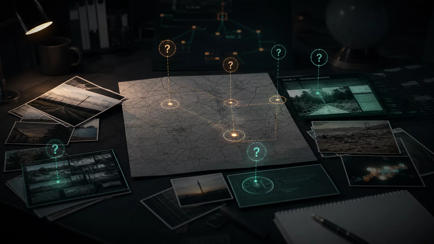
Public images, maps, landmarks, and timestamps can create a compelling location story. They can also be old, edited, approximate, or attached to an incorrect caption. Responsible OSINT treats location as a claim that needs sources, context, and clear limits.
Separate observation from conclusion
An image may visibly show terrain, buildings, weather, or a generic landmark. It does not by itself establish where or when it was captured. Record the source URL, observation date, and the exact visible clue before describing any inference.
Require independent context
Check source provenance, timing, and whether corroborating material is genuinely independent rather than copied from the same post. Use calibrated language such as “consistent with” or “unconfirmed,” and name plausible alternatives.
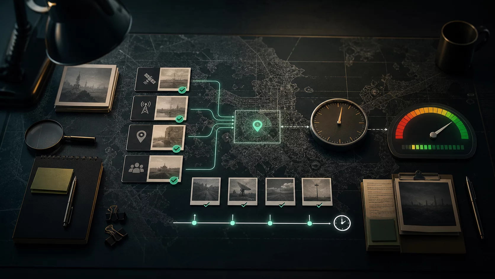
The best outcome is often a bounded conclusion: what the public evidence supports, what it does not, and what authorized evidence would be needed next.
// USEFUL_INTEL?
Signal that this research note was useful.